Simeon De Witt Maps Out New York Transit
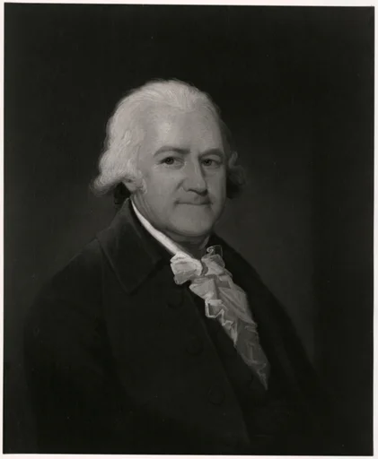
Simeon De Witt was the most important cartographer in New York, if not the United States, during the Founding Period.
De Witt created several maps of the State as well as it’s cities. He also drew up the street grid for many New York Cities, including New York City.
De Witt has a special place in my heart as the Central New York Military Tract he drew now contains my house. There is a (very slim) chance he even set foot on my property.
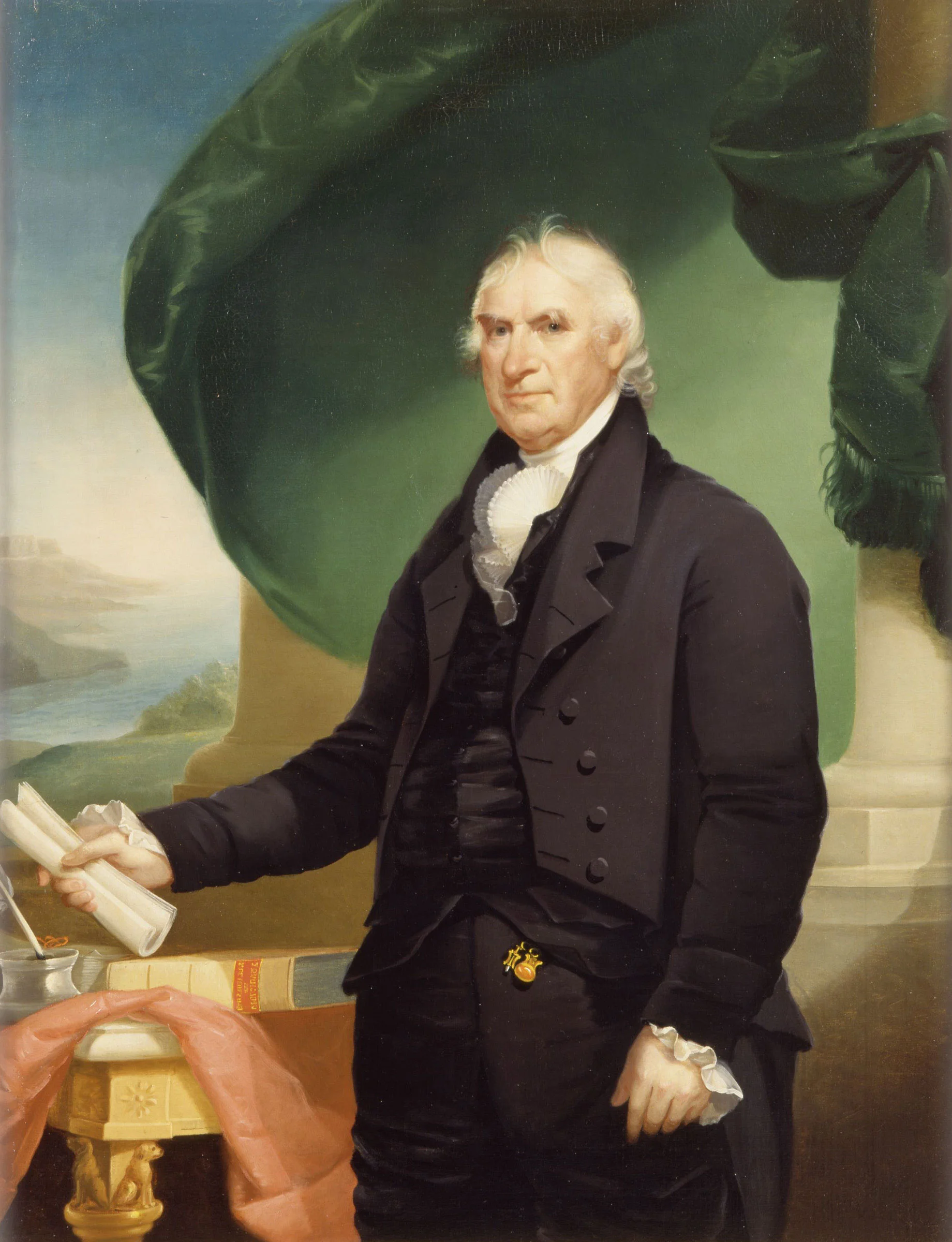
Simeon De Witt
Simeon De Witt joined the Continental Army immediately after graduating from Queen’s College in New Jersey.
De Witt worked as a Surveyor and eventually was appointed by George Washington as Geographer and Surveyor General. In this position, Simeon became the most important mapmaker in the Continental Army.
During his time serving Washington, De Witt contributed to several important historical maps. He became known as one of the most respected cartographers in the United States.
Central New York Military Tract
After the Revolutionary War, De Witt returned home to New York.
By 1784, Simeon had been appointed New York State Surveyor General. He would hold this position for the next fifty years.
Dewitt’s first major task was to map out the Central New York Military Tract. This Tract was selected to use as compensation for Continental Soldiers for their efforts in the Revolutionary War.
Simeon traveled the area and mapped out the land, included today’s cities of Syracuse, Ithaca and Cortland. De Witt had a particular interest in Ithaca, a town in which he lived and became a Founder of. He laid out the streets of this town in a grid, getting his first experience laying out road plans for a city.
Mapping New York State
De Witt spent several years travelling his home State and by 1802 release his map of New York.
This map is significant as it demonstrated the true size of the State as well as verification that most of the land was uninhabited. The map would be useful in future planning of New York, both for settling towns and building the Erie Canal.
This is one of the first maps of New York State which, well, looks like New York State. Before this, the maps were general outlines.
New York City’s Streets
Five years later, Simeon was asked to perform the most significant task of his career…laying out a street grid for New York City.
De Witt worked with Gouverneur Morris and John Rutherfurd as commissioners for the city. These three men created the Commissioners’ Plan of 1811.
This plan finalized the future of New York City by determining the system by which future streets would be laid. De Witt and his assistant drew the map which was presented to the citizens.
Perhaps most notably, this Commission decided on the names of every road in the city, including the famous use of Avenue and Street in the names.
Erie Canal
De Witt would go on to lay out the street grid of his longtime home of Albany, New York.
He served on the Erie Canal Commission which attempted (and accomplished) planning a canal across the State of New York. This would bring trade through Manhattan, making it the wealthy metropolis it is today.
Extolling the virtue of education, Simeon served for several years as Chancellor of the University of the State of New York until his death in Ithaca in 1834. He was still Surveyor General of New York when he passed.
If you liked this article and want to learn more about the Erie Canal, try reading about Robert Livingston or John Stevens III.
To read more about Simeon De Witt, you can read an 1835 biography of him and his work for FREE here.
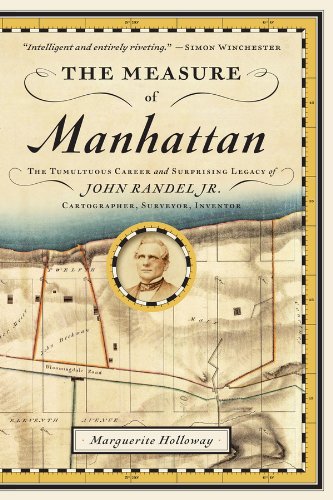
While there is no modern biography of De Witt, I have included below a book about John Randel Jr, Simeon’s protege. Randel also played a substantial part in the laying of our Manhattan and De Witt is mentioned often in this text. Pick up a copy from our affiliate Amazon below.
I will be taking the Culper Spy Ring Tour in Setauket, NY tomorrow! Now is a good time to follow me on Instagram as I will be posting pictures throughout the day.


